Hannah Hot Spring
133°F
Source water (NOAA)
8.3mi
Hike, one way
Free
No fee reported
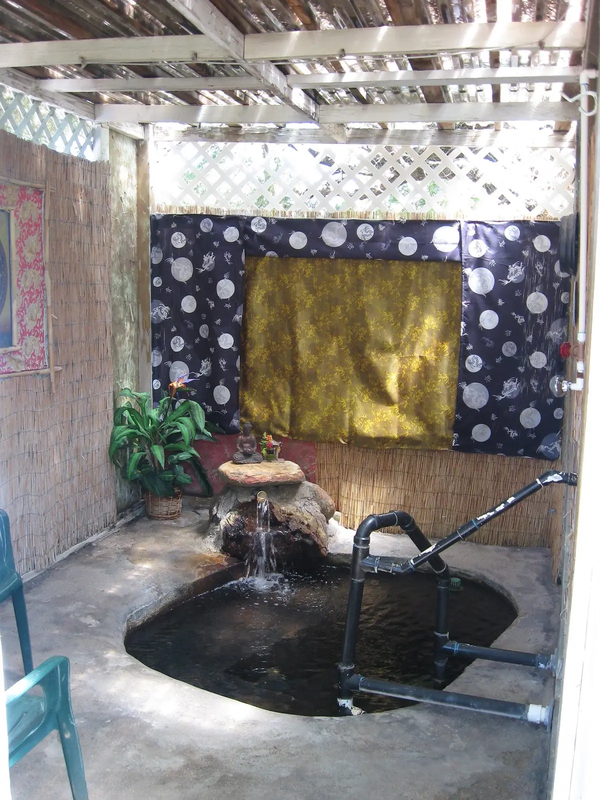
Hannah Hot Spring is a remote spring in the Blue Range country with two small stone basins fed by water of about 133F at the source. Reaching it takes an 8.3 mile off-trail hike up the Blue River and side canyons, with many wades. There is a camp area above the pools.
01 · Before you go
Plan your visit
What to expect on the ground: rules, facilities and when to go.
- Camping nearbyLeveled campsite above the springs; a backpacker guide recommends at least three nights.
- PoolsTwo stone and mortar basins, about 18 and 12 inches deep
- QuietLow water outside spring runoff; avoid monsoon season for flood risk.
- SeasonSpring runoff makes the canyon crossings hardest, with thigh-high water reported.
- Free to soakNo fee reported; contact Apache-Sitgreaves NF about regulations.
Best time to go. Low water outside spring runoff; avoid monsoon season for flood risk.
02 · Live
Conditions
Access status, weather and hazards. Closure feeds are checked automatically every morning.
Access
No closures reported
No closure, fire or weather warning found in Forest Service, wildfire (NIFC) or National Weather Service feeds. That isn't confirmation it's open, so check with Apache-Sitgreaves National Forest.
Checked 22 Oct · updated daily
Checked Apache-Sitgreaves NF alerts via search for 2025-2026: no active fire restrictions as of July 2026 and no closure order found for the Blue River area. Not verified on the day of visit; check the forest alerts page before going.
Source water is about 133F, cooler in the pools. Several waist-deep wades, route-finding in a tricky canyon system and flash flood danger. Very remote with no services. Hot spring water can carry amoeba and bacteria, keep water out of the nose.
Get closure news by email
New closures, reopenings and new states, about once a month. No spam.
03 · Route
Getting there
Nearest town: Alpine. Then a 8.3-mile hike, one way.
- 1
Hike up the Blue River canyon for about 4.2 miles, turn east up Little Blue Creek, then turn up Hannah Springs Creek about 2.3 miles further.
- 2
The route is off-trail with repeated stream wading; the last 0.3 mile includes several waist-deep wades.
33.4000, −109.1520 · nearest town Alpine, AZ
These coordinates are for the spring itself, not the parking area. Navigate to the trailhead named in the directions.
04 · Where to stay
Stay nearby
Start early and stay close. Places to stay near Alpine, from campgrounds to cabins.
If you book through these links we may earn a small commission, at no extra cost to you. It never affects what we list or how.
Checked against 3 sources, with closures, wildfires and weather warnings re-checked daily.Show sourcesShare your photosSuggest an update
- backpacker.com (route, temp, pools, camping, hazards)
- hikearizona.com (directions, land manager)
- fs.usda.gov (status_notes)