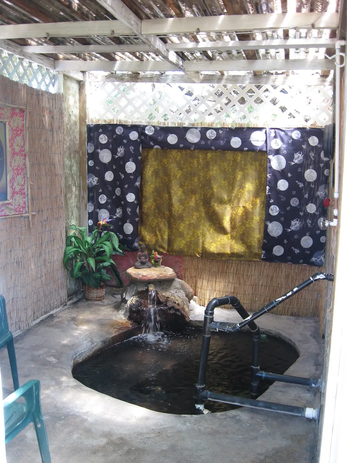
Gillard Hot Springs
180°F
Source water (NOAA)
4WD road
Hard access
Free
No fee reported
Gillard Hot Springs is a very hot spring on the Gila River on BLM land, with water of about 180F at the source. Visitors reach it by a rough road and a short walk and cool the water with river water to soak. Floods have destroyed pools in the past, so the setup changes from year to year.
01 · Before you go
Plan your visit
What to expect on the ground: rules, facilities and when to go.
- Camping nearbyCamping and picnicking are allowed on BLM land along the Black Hills Back Country Byway; Owl Creek Campground sits at the east end.
- PoolsVaries; pools have been washed out and rebuilt by hand
- Quiet
- SeasonRoad is washed out in places by floods; the old bridge to the parking area is gone. Conditions change after rain.
- Free to soakNo fee reported.
02 · Live
Conditions
Access status, weather and hazards. Closure feeds are checked automatically every morning.
Access
No closures reported
No closure, fire or weather warning found in Forest Service, wildfire (NIFC) or National Weather Service feeds. That isn't confirmation it's open, so check with BLM Safford Field Office.
Checked 22 Oct · updated daily
Searched for 2025-2026 closures and flood damage: no BLM closure notice found and no dated 2025-2026 trip report. Older reports describe flood damage and lost pools. Call BLM Safford at 928-348-4400 for road conditions.
Source water is about 180F and can scald; soakers mix in river water to cool it. Flash floods, sandy washes and cattle grazing affect the site. Remote with no services. Hot spring water can carry amoeba and bacteria, keep water out of the nose.
Get closure news by email
New closures, reopenings and new states, about once a month. No spam.
03 · Route
Getting there
Nearest town: Safford.
- 1
Take the Black Hills Back Country Byway off US 191 east of Safford and turn onto the signed Gillard Springs Road, about 4 miles of rough track.
- 2
Park where the washed-out bridge stops vehicles, then walk about a quarter mile downhill to the river and springs.
32.9710, −109.3500 · nearest town Safford, AZ
04 · Where to stay
Stay nearby
Start early and stay close. Places to stay near Safford, from campgrounds to cabins.
If you book through these links we may earn a small commission, at no extra cost to you. It never affects what we list or how.
Checked against 4 sources, with closures, wildfires and weather warnings re-checked daily.Show sourcesShare your photosSuggest an update
- cliftonarizona.com.desertlavender.com (access, temp, cattle)
- desertlavender.com (soaking, road condition)
- desertlavender.com (flood damage)
- blm.gov (official, camping)