Olympic Hot Springs
85–105°F
Pool temperatures
10.5mi
Hike, one way
Check
Fee may apply
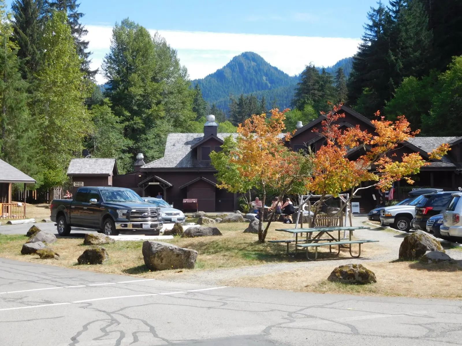
Natural seeps along Boulder Creek in the Elwha Valley where visitors have built shallow rock pools. Since the road washed out in 2021 the trip is about 10 miles each way on foot or bike. The Park Service warns of bacteria in the pools and notes nudity is common though not condoned.
01 · Before you go
Plan your visit
What to expect on the ground: rules, facilities and when to go.
- No dogs
- Clothing optionalCommon here, not official policy
- Camping nearbyCamping near the springs with a wilderness use permit; Boulder Creek Campground has pit toilets per a guide.
- PoolsSeveral shallow rock pools fed by about 21 seeps
- Quiet
- SeasonElwha road closed to vehicles beyond Madison Falls Trailhead since 2021; foot access only.
- Winter: possible with effortRoad closed to vehicles; 10.5 mile walk in. Winter guide
02 · Live
Conditions
Access status, weather and hazards. Closure feeds are checked automatically every morning.
Access
No closures reported
No closure, fire or weather warning found in Forest Service, wildfire (NIFC) or National Weather Service feeds. That isn't confirmation it's open, so check with Olympic National Park.
Checked 22 Oct · updated daily
NPS page (checked 2026-10-16) says Elwha area closed to vehicles beyond Madison Falls since the 2021 washout; foot and bike access on the road section. Distance conflict: NPS gives about 9 miles road plus 1.5 miles trail, other sources give 8 plus 2.5.
NPS warns untreated pools may contain harmful bacteria and public health officials do not recommend bathing; shallow, stagnant pools in summer; temperatures up to 138F at seeps.
Get closure news by email
New closures, reopenings and new states, about once a month. No spam.
03 · Route
Getting there
Nearest town: Port Angeles. Then a 10.5-mile hike, one way.
- 1
Park at Madison Falls Trailhead off Highway 101 near Port Angeles, hike the closed Olympic Hot Springs Road (bypass trail around the washout) about 9 miles, then the Boulder Creek Trail about 1.5 miles to the springs.
47.9770, −123.6820 · nearest town Port Angeles, WA
These coordinates are for the spring itself, not the parking area. Navigate to the trailhead named in the directions.
04 · Where to stay
Stay nearby
Start early and stay close. Places to stay near Port Angeles, from campgrounds to cabins.
If you book through these links we may earn a small commission, at no extra cost to you. It never affects what we list or how.
Checked against 3 sources, with closures, wildfires and weather warnings re-checked daily.Show sourcesShare your photosSuggest an update
- nps.gov (access, status, health)
- en.wikipedia.org (pools, temps, history)
- nps.gov (road closure)