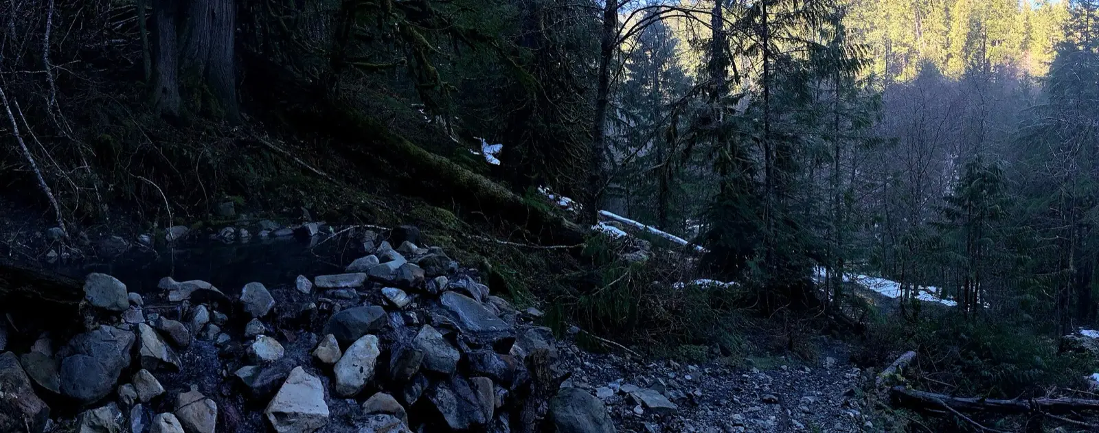
Baker Hot Springs
108°F
Source water (NOAA)
Short walk
Moderate access
Free
No fee reported
Baker Hot Springs is a free, popular spot in the Mount Baker area with two log-and-rock pools fed by water around 110F. It is reached by a rough forest road ending at the Swift Creek trailhead and a short walk. No camping is allowed at the springs themselves.
01 · Before you go
Plan your visit
What to expect on the ground: rules, facilities and when to go.
- Camping nearbyNo camping is permitted at the springs. Park Creek and Swift Creek campgrounds are nearby on Baker Lake Road.
- Parking
- 2 pools
- BusyYear-round depending on road conditions.
- SeasonForest roads in Mount Baker-Snoqualmie National Forest close seasonally; a high-clearance 4WD vehicle is advised for the rough final road.
- Closed or out of reach in winterForest roads close seasonally; 4WD needed on final road. Winter guide
- Free to soakOne source reports no entrance fee at the Swift Creek trailhead.
Best time to go. Year-round depending on road conditions.
02 · Live
Conditions
Access status, weather and hazards. Closure feeds are checked automatically every morning.
Access
No closures reported
No closure, fire or weather warning found in Forest Service, wildfire (NIFC) or National Weather Service feeds. That isn't confirmation it's open, so check with Mount Baker-Snoqualmie National Forest.
Checked 22 Oct · updated daily
As of 2026-10-16: no closure of the hot springs or FSR 1130/1144 was found. A Forest Service alert (updated 2026-07-11) closed Baker Lake Road (FSR 11) near Shannon Creek Bridge (about milepost 23.8) from mid-July to end of August 2026 for bridge repair, which is beyond the 17.7 mile turnoff to the springs. Reopening was not confirmed in sources; check with Mt. Baker Ranger Station. Sources conflict on the walk: one says 0.3 miles, another describes a half-mile downhill then uphill trail, so mileage is approximate.
Rough, high-clearance road. Water quality can degrade with heavy use. Sulfur smell. No toilets or water at the trailhead.
Get closure news by email
New closures, reopenings and new states, about once a month. No spam.
03 · Route
Getting there
Nearest town: Concrete.
- 1
From Sedro-Woolley take SR 20 east to about milepost 82, turn north on Baker Lake Highway (FSR 11) and go about 17.7 miles to FSR 1130.
- 2
Follow it about 4 miles, then turn right on FSR 1144 to its end.
- 3
The springs are a short walk from the parking area.
48.7630, −121.6670 · nearest town Concrete, WA
04 · Where to stay
Stay nearby
Start early and stay close. Places to stay near Concrete, from campgrounds to cabins.
If you book through these links we may earn a small commission, at no extra cost to you. It never affects what we list or how.
Checked against 4 sources, with closures, wildfires and weather warnings re-checked daily.Show sourcesShare your photosSuggest an update
- hotspringslocator.com (pools, temperature, access, camping, clothing)
- pnt.org (directions, trailhead facilities, fee)
- wta.org (coordinates, description)
- fs.usda.gov (closure alert)