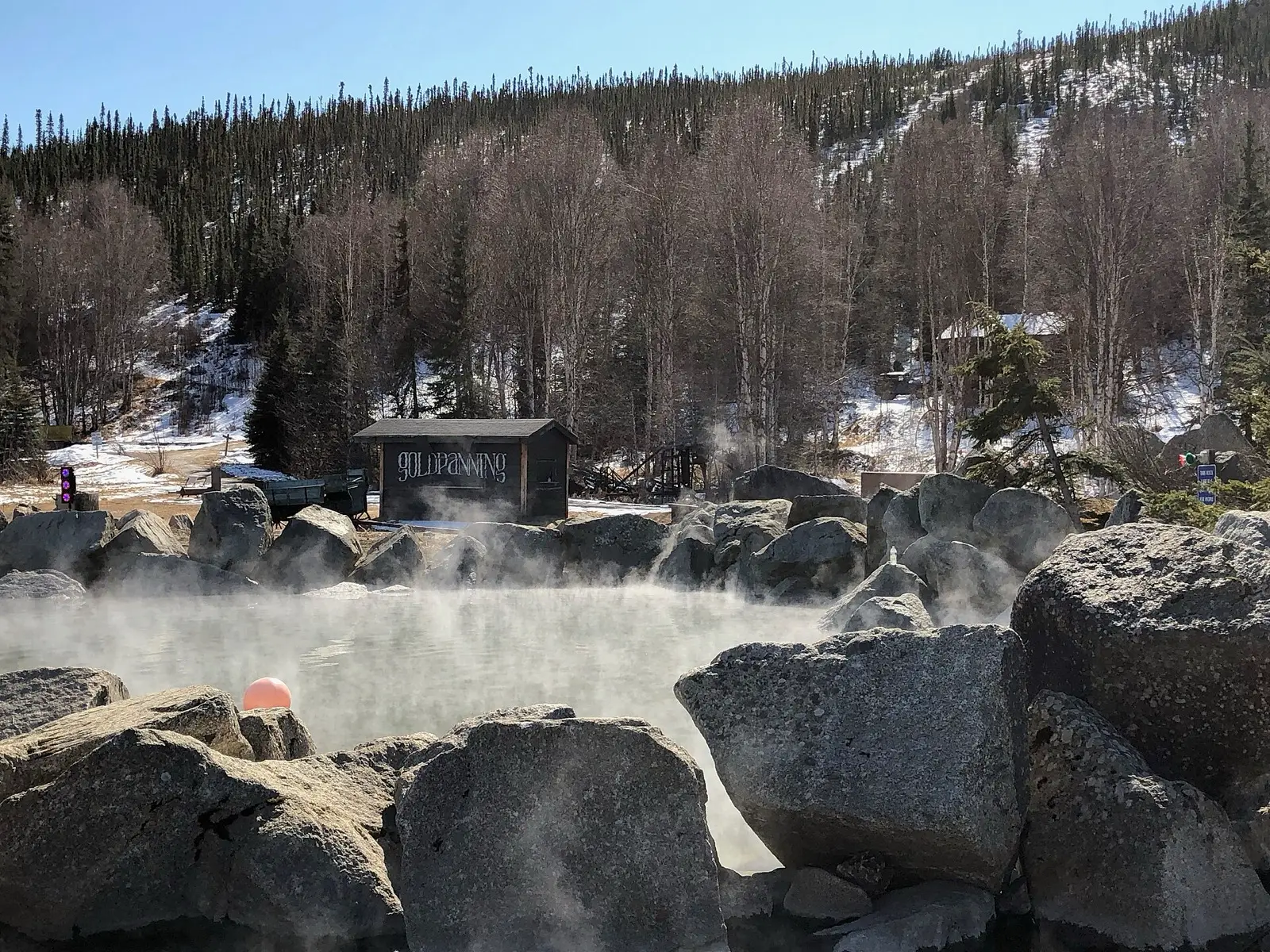
Tolovana Hot Springs
140°F
Source water (NOAA)
10.1mi
Hike, one way
Paid
Fees apply
Tolovana Hot Springs is a rustic private facility with three wooden tubs and three rental cabins at the end of a roughly 10 mile trail from the Elliott Highway. Access is by reservation only, and the spring sits on BLM land leased to the operator. Winter trips by ski, snowshoe or snowmachine are the most popular.
01 · Before you go
Plan your visit
What to expect on the ground: rules, facilities and when to go.
- Dogs allowed
- Clothing optionalCommon here, not official policy
- Camping nearbyThree rental cabins on site; no walk-in visitors without a booking.
- Lodging
- Pools3 wooden soaking tubs
- ModerateWinter, when the trail is packed and faster; temperatures can drop to -20F to -40F.
- Reservations required
- SeasonTrail from the Elliott Highway is open year-round, easiest in winter by ski, snowshoe or snowmachine when packed. Summer travel crosses swampy ground and wet tundra and needs waders. Alternative airstrip about 1 mile south for charter aircraft.
- Winter: possible with effortBest in winter on packed trail; ski or snowmachine. Winter guide
- FeesDay use $40 per person per day; cabins about $40 to $175 per night in summer and $65 to $255 in winter; dogs $10 per visit. Reservations open up to 3 months ahead, with a lottery for busy winter dates.
Best time to go. Winter, when the trail is packed and faster; temperatures can drop to -20F to -40F.
02 · Live
Conditions
Access status, weather and hazards. Closure feeds are checked automatically every morning.
Access
No closures reported
No closure, fire or weather warning found in Forest Service, wildfire (NIFC) or National Weather Service feeds. That isn't confirmation it's open, so check with Tolovana Hot Springs Ltd..
Checked 22 Oct · updated daily
Checked Oct 2026: Hot Springs Guides shows operating, last verified Sept 21, 2026. The 2020 Doyon access block was resolved by a paid permit (Dec 2020); no 2025 or 2026 closure found in searches. Confirm the permit and trail status when booking.
About 20 miles round trip with significant elevation gain and two steep descents. No cell service or on-site emergency communication; carry a personal locator beacon. Winter cold of -20F to -40F. Summer has swampy trail and heavy insects. Parking and the first mile of trail cross Doyon and Minto Village Corporation land under a permit held by Tolovana Ltd.; Doyon cut off access in Oct 2020 over litter and liability before a permit was arranged in Dec 2020, so do not use the trail without a confirmed booking.
Get closure news by email
New closures, reopenings and new states, about once a month. No spam.
03 · Route
Getting there
Nearest town: Fairbanks. Then a 10.1-mile hike, one way.
- 1
Drive the Elliott Highway about 93 miles from Fairbanks to the trailhead near milepost 93, then hike the trail about 10 to 11 miles over a 2,300 foot ridge to the springs.
65.2740, −148.8470 · nearest town Fairbanks, AK
These coordinates are for the spring itself, not the parking area. Navigate to the trailhead named in the directions.
04 · Where to stay
Stay nearby
Start early and stay close. Places to stay near Fairbanks, from campgrounds to cabins.
If you book through these links we may earn a small commission, at no extra cost to you. It never affects what we list or how.
Checked against 4 sources, with closures, wildfires and weather warnings re-checked daily.Show sourcesShare your photosSuggest an update
- hotspringsguides.com (access, fees, tubs, dogs, clothing, status)
- alaskapublic.org (land ownership, Doyon permit)
- alaskapublic.org (Doyon access block)
- alaska.org (trail, winter use)