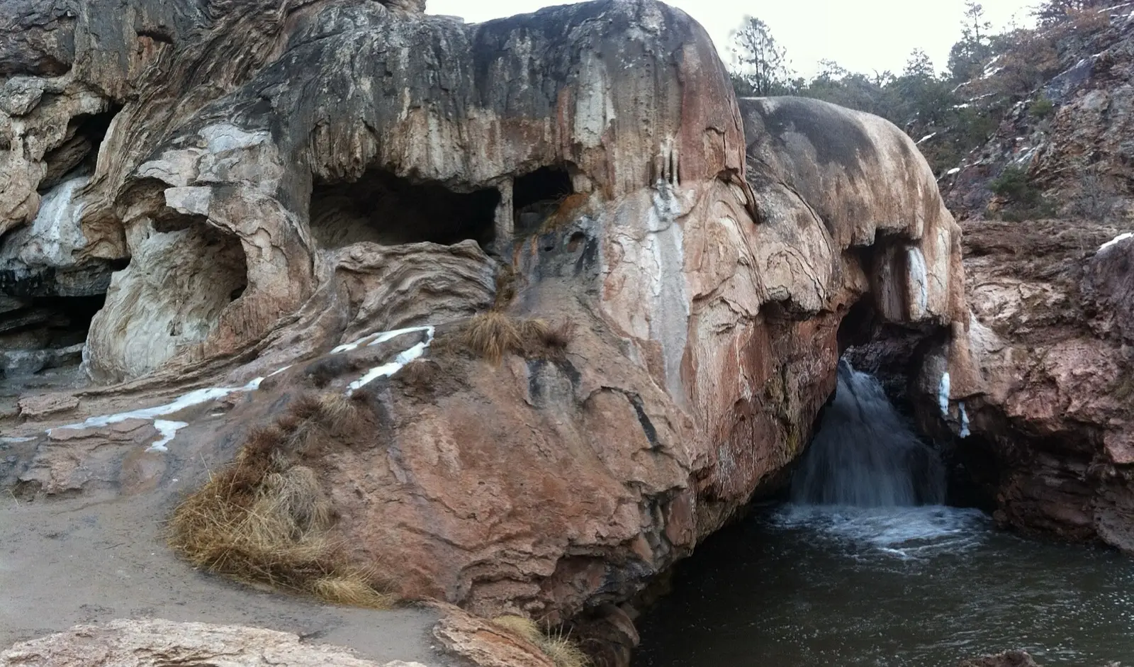
Spence Hot Springs
95–100°F
Pool temperatures
0.5mi
Hike, one way
Check
Fee may apply
Spence is a short walk from Highway 4 to terraced rock pools along the East Fork of the Jemez River, with water around the mid 90s to 100 F. Parking is tiny and fills early. It has been affected by trail work in 2025 and a wildfire closure in mid 2026, so check current conditions. Sources disagree on nudity rules and trail length, so those details are lower confidence.
01 · Before you go
Plan your visit
What to expect on the ground: rules, facilities and when to go.
- Dogs allowed
- Swimsuits required
- No camping nearbyCamping and campfires are reported as prohibited at the site.
- Toilets & parking
- PoolsSeveral terraced rock pools
- BusyParking fills quickly at peak times, so go early or midweek.
- SeasonSubject to Santa Fe National Forest closure orders, including trail work closures (August 2025) and wildfire closures (June to July 2026).
Best time to go. Parking fills quickly at peak times, so go early or midweek.
02 · Live
Conditions
Access status, weather and hazards. Closure feeds are checked automatically every morning.
Access
No closures reported
No closure, fire or weather warning found in Forest Service, wildfire (NIFC) or National Weather Service feeds. That isn't confirmation it's open, so check with Santa Fe National Forest, Jemez Ranger District.
Checked 22 Oct · updated daily
The McCauley Springs Fire (started June 24, 2026) closed the area including Spence Hot Springs. Santa Fe National Forest announced it reopened July 7, 2026, with the wider closure order running to August 11, 2026. An early report listed Spence as still closed, so verify with the Jemez Ranger District (575-829-3535) before going. Trail work closure also ran August 6 to 16, 2025. No later closure found as of October 18, 2026.
Rocky, muddy or slippery trail and pool edges. Glass containers are reported as prohibited. No drinking water at the trailhead.
Get closure news by email
New closures, reopenings and new states, about once a month. No spam.
03 · Route
Getting there
Nearest town: Jemez Springs. Then a 0.5-mile hike, one way.
- 1
Take NM 4 northwest from Jemez Springs.
- 2
A small paved lot of about seven cars sits on the highway near mile marker 265, roughly 5 to 7 miles north of the Jemez Ranger District office.
- 3
A short, rocky trail (Trail 130) drops toward the East Fork of the Jemez River and the pools.
35.8491, −106.6318 · nearest town Jemez Springs, NM
04 · Where to stay
Stay nearby
Start early and stay close. Places to stay near Jemez Springs, from campgrounds to cabins.
If you book through these links we may earn a small commission, at no extra cost to you. It never affects what we list or how.
Checked against 5 sources, with closures, wildfires and weather warnings re-checked daily.Show sourcesShare your photosSuggest an update
- losalamosreporter.com (2026 closure and reopening)
- ladailypost.com (2025 trail closure)
- hiiker.app (distance, coordinates, dogs, pools)
- newmexico.org (location, temperature)
- komoot.com (parking, rules, hike distance)