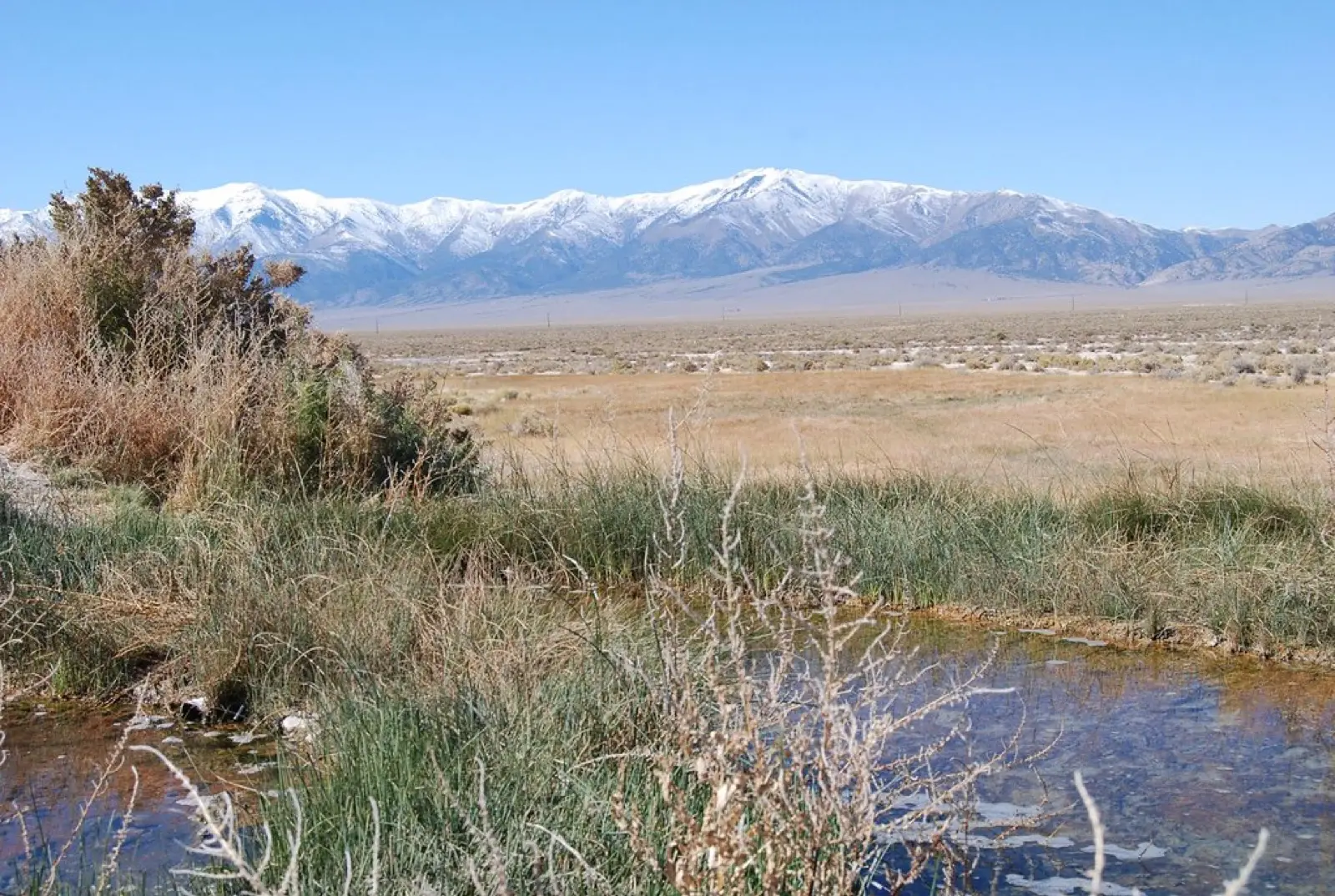
Twelve Mile Hot Springs
Also known as Bishop Creek Hot Springs
94–104°F
Pool temperatures
2mi
Hike, one way
Free
No fee reported
A long, narrow pool of about 80 by 9 feet and a smaller one sit in Bishop Creek canyon north of Wells, with source water around 104 F and the main pool at roughly 99 to 103 F. Most visitors walk about 2 miles from the cattle guard. The land and road are private, so access depends on respectful use.
01 · Before you go
Plan your visit
What to expect on the ground: rules, facilities and when to go.
- Dogs allowed
- Clothing optionalCommon here, not official policy
- Camping nearbyNo camping at the springs; dispersed camping on nearby public land.
- 2 pools
- ModerateLate spring to early fall in dry weather.
- SeasonRoad becomes impassable after rain, snow or high water; creek crossings can run up to about 3 feet deep. Easiest late spring through early fall.
- Free to soakNo fee.
Best time to go. Late spring to early fall in dry weather.
02 · Live
Conditions
Access status, weather and hazards. Closure feeds are checked automatically every morning.
Access
Check before you go
This spring is inside the 2026 Oxley Fire burn area. Post-fire closures and hazards are common, so check with the land manager.
Checked 22 Oct · updated daily
Searched for 2025-2026 closure or access changes (October 2026) and found none; guides say it is open year-round, but access is on private land and no dated 2026 report was found. Guides ask visitors to treat access as a privilege.
Creek crossings and flash floods in storms; remote with no cell service; slippery crossings; source water 104 F.
Get closure news by email
New closures, reopenings and new states, about once a month. No spam.
03 · Route
Getting there
Nearest town: Wells. Then a 2-mile hike, one way.
- 1
From Wells, take US-93 north, then Metropolis Road and the county road about 9 miles to a cattle guard.
- 2
Low-clearance vehicles park there and walk about 2 miles along the rough road with creek crossings; high-clearance 4WD may drive closer in dry conditions.
- 3
Coordinates about 41.243, -114.947.
41.2425, −114.9481 · nearest town Wells, NV
04 · Where to stay
Stay nearby
Start early and stay close. Places to stay near Wells, from campgrounds to cabins.
If you book through these links we may earn a small commission, at no extra cost to you. It never affects what we list or how.
Checked against 3 sources, with closures, wildfires and weather warnings re-checked daily.Show sourcesShare your photosSuggest an update
- hotspringslocator.com (private land, pools, temperature, directions)
- hotspringsguides.com (hike, road, dogs, hazards, camping)
- backpackers.com (location and access overview)