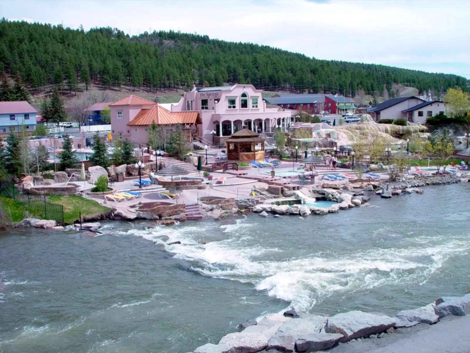
Rainbow Hot Springs
104°F
Source water (NOAA)
5.3mi
Hike, one way
Free
No fee reported
Rainbow Hot Springs is a set of 2-3 rock-lined natural pools beside the West Fork of the San Juan River. They are reached by a hike of about 5 miles one way on West Fork Trail 561 in the Weminuche Wilderness. The springs are free and have no facilities. Flooding in October 2025 damaged bridges and trail sections, so confirm current conditions before going.
01 · Before you go
Plan your visit
What to expect on the ground: rules, facilities and when to go.
- Camping nearbyThere are designated campsites near the springs, and the Forest Service restricts camping in a zone starting about 4.5 miles from the trailhead. West Fork Campground and dispersed sites are near the trailhead road. Check the Forest Service page for current wilderness camping rules.
- 2–3 pools
- ModerateSummer and early fall, once snow has gone and the river is lower.
- SeasonBest reached in summer and early fall. Snow can block the trail in other seasons. The Forest Service reports that the October 2025 flooding washed out bridges on the West Fork Road and Trail, and a May 2026 trail update asked people to stay off the trail until repairs are done.
- Free to soakNo fee found. A third-party camping site describes the springs as free to visit.
Best time to go. Summer and early fall, once snow has gone and the river is lower. Wading is risky in spring runoff.
02 · Live
Conditions
Access status, weather and hazards. Closure feeds are checked automatically every morning.
Access
No closures reported
No closure, fire or weather warning found in Forest Service, wildfire (NIFC) or National Weather Service feeds. That isn't confirmation it's open, so check with San Juan National Forest.
Checked 14 Oct · updated daily
Severe flooding on October 10-13, 2025 washed out bridges and damaged the West Fork Road and Trail. A West Fork Road and Bridge Closure Order was in place. A trail update dated May 11, 2026 said the trail was washed out in sections and impassable, and asked people to stay off it until repairs. Check with the Pagosa Ranger District before going. The Rio Blanco Fire in July and August 2026 was south of Pagosa Springs, so it is unrelated to this area. Its road closure was lifted August 25, 2026.
Flood-damaged trail and washed-out bridges, so river wading may be needed, which is risky at high water. The trail crosses a large burn scar and beetle-killed forest with downed timber. Some visitors report trash at the pools. Water from the river needs filtering. The upper pool is about 105 F and the lower about 95 F, per a trail guide.
03 · Route
Getting there
Nearest town: Pagosa Springs. Then a 5.3-mile hike, one way.
- 1
From Pagosa Springs, drive northeast on US 160 for about 15 miles. Turn left onto West Fork Road (FR 648) and go about 3 miles, passing West Fork Campground, to the West Fork Trailhead at about 9,040 feet.
- 2
Hike West Fork Trail 561 for about 5.3 miles. The first mile crosses private land, and the trail enters the wilderness at about 1.3 miles.
- 3
The springs are about half a mile past the start of the restricted camping zone and cannot be seen from the trail. Social trails through the campsite area lead down to the pools.
37.5110, −106.9450 · nearest town Pagosa Springs, CO
These coordinates are for the spring itself, not the parking area. Navigate to the trailhead named in the directions.
04 · Where to stay
Stay nearby
Start early and stay close. Places to stay near Pagosa Springs, from campgrounds to cabins.
If you book through these links we may earn a small commission, at no extra cost to you. It never affects what we list or how.