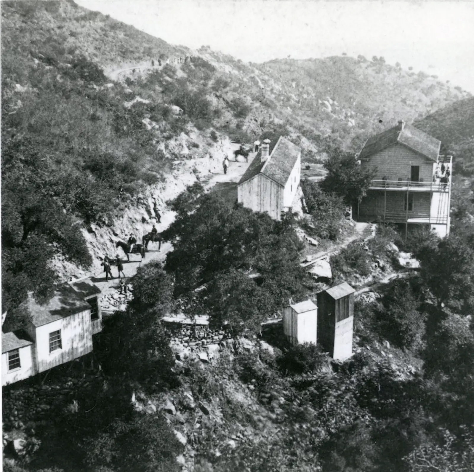
Little Caliente Hot Springs
90°F
Source water (NOAA)
1.2mi
Hike, one way
Free
No fee reported
Little Caliente is a primitive hot spring in Los Padres National Forest, about 4.8 miles north of Big Caliente Hot Springs. It has a series of rock and mortar pools with wooden benches, and the water cools as it flows down from the source. It is reached by a short walk from Mono Campground or a long hike from East Camino Cielo, and road access depends on current closures.
01 · Before you go
Plan your visit
What to expect on the ground: rules, facilities and when to go.
- Camping nearbyMono Campground is a walk-in site about a mile below the springs. Middle Santa Ynez and P-Bar Flat campgrounds are also nearby.
- HoursOne guide lists 6 a.m. to 10 p.m. (day use). This is not confirmed by an official current source.
- SeasonBackcountry roads on the way (5N15 and the East Camino Cielo area) have been closed by landslides and storm damage. They are slippery and impassable when wet. A 2025 Santa Barbara Ranger District storm damage recovery closure order exists.
- Free to soakOne guide says there is no fee because the area is day-use only. The same guide says an Adventure Pass is required for overnight stays at nearby campgrounds. That guide appears to be several years old.
02 · Live
Conditions
Access status, weather and hazards. Closure feeds are checked automatically every morning.
Checked 14 Oct · updated daily
Vehicle access to Little Caliente has been limited by erosion, with the Forest Service advising visitors to walk the road. No 2026 status was found. Check with the Santa Barbara Ranger District (805-967-3481) before visiting.
Hot, dry terrain with minimal shade at the pools. Creeks on the route are often dry, so carry plenty of water. Poison oak lines the trail. The Santa Ynez River crossing on the Camino Cielo route gets you wet. Dirt roads are rutted and slick when wet, and high-clearance 4WD is advised if driving is allowed.
03 · Route
Getting there
Nearest town: Santa Barbara. Then a 1.2-mile hike, one way.
- 1
From Highway 154 at San Marcos Pass north of Santa Barbara, take East Camino Cielo (5N12/5N123/5N15) and continue on 5N15 past Pendola Station to Mono Campground, about 5 miles beyond. From there it is about 1.2 miles on foot to the springs.
- 2
Where the road is closed, the alternative is the roughly 13-mile round-trip trail from Camino Cielo. That route drops to the Santa Ynez River, crosses it (expect wet feet), then follows the valley to the springs.
- 3
Road access has been unreliable because of closures, so confirm current conditions first.
34.5370, −119.6130 · nearest town Santa Barbara, CA
These coordinates are for the spring itself, not the parking area. Navigate to the trailhead named in the directions.
04 · Where to stay
Stay nearby
Start early and stay close. Places to stay near Santa Barbara, from campgrounds to cabins.
If you book through these links we may earn a small commission, at no extra cost to you. It never affects what we list or how.