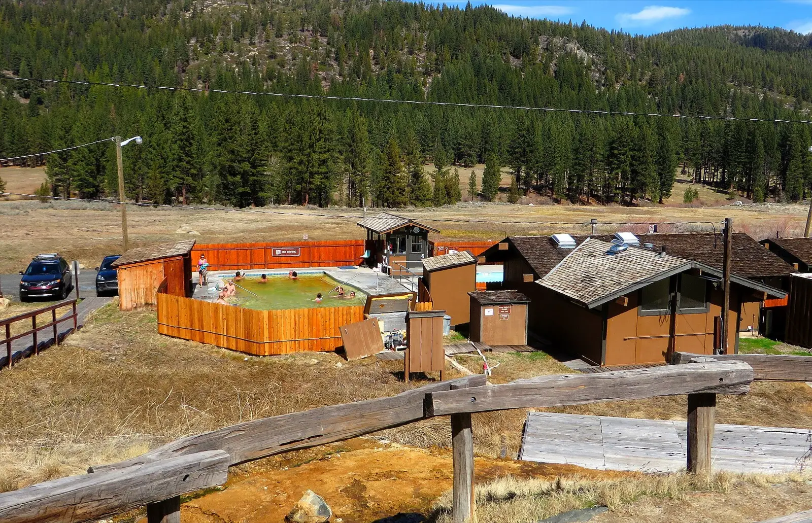
East Fork Carson River Hot Springs
95–110°F
Pool temperatures
5.1mi
Hike, one way
Unknown
Fee not verified
A series of rock-lined hot spring pools sits beside the East Fork Carson River near the California and Nevada border, southeast of Markleeville. It is mainly reached by a roughly 5 mile hike each way, or by river from the rafting run. Pool temperatures are reported at about 95 to 110 F, and the area is known for river-side camping and nude soaking.
01 · Before you go
Plan your visit
What to expect on the ground: rules, facilities and when to go.
- Clothing optionalCommon here, not official policy
- Camping nearbyRafting guides list informal river-side camps near the springs, on both banks. Road access is better on the river-right side. No official campground is confirmed.
- ModerateLate summer and fall when the river is low and the crossing is easier.
- SeasonSpring runoff makes the river crossing deep and the low riverside pools can go underwater at high flows. Late summer and fall are lower water. The river was about 20 to 24 inches deep at the crossing in early July 2025.
Best time to go. Late summer and fall when the river is low and the crossing is easier. Avoid spring runoff, when the crossing is deep and the pools can be submerged.
02 · Live
Conditions
Access status, weather and hazards. Closure feeds are checked automatically every morning.
Access
No closures reported
No closure, fire or weather warning found in Forest Service, wildfire (NIFC) or National Weather Service feeds. That isn't confirmation it's open, so check with Humboldt-Toiyabe National Forest.
Checked 14 Oct · updated daily
On June 14, 2025 a trail user reported a closed gate at the ranch with no-trespassing signs on the Nevada-side approach, and had to come in from the Markleeville side. Another report from July 2025 said the gate was open.
A river crossing is needed on some routes and can be deep. Pools near the river can be submerged at high flows. There is steep, loose terrain on the descent. The route is exposed and dry, so bring water. The reported 149 F source temperature means the water is hot where it emerges, so test it before soaking.
03 · Route
Getting there
Nearest town: Markleeville, CA. Then a 5.1-mile hike, one way.
- 1
One route starts from a trailhead in ponderosa pines off Scossa Canyon Road near Markleeville. It follows a Forest Service road northeast, takes the left forks as described in the guide, then climbs a ridge and drops steeply to the springs on the river.
- 2
The round trip is about 10 miles. Another route comes from the Leviathan Mine Road side.
- 3
Others use OHV routes such as China Springs from the Nevada side, which may cross ranch land with a gate. Check current access before choosing the Nevada-side route.
- 4
The springs sit on the river a few miles below Hangman's Bridge on Highway 89, and rafters reach them by river at about mile 8.7 of the East Fork run.
38.7730, −119.7130 · nearest town Markleeville, CA, CA
These coordinates are for the spring itself, not the parking area. Navigate to the trailhead named in the directions.
04 · Where to stay
Stay nearby
Start early and stay close. Places to stay near Markleeville, CA, from campgrounds to cabins.
If you book through these links we may earn a small commission, at no extra cost to you. It never affects what we list or how.