Little Hot Creek Hot Springs
Also known as Siphon Hot Tub
180°F
Source water (NOAA)
4WD road
Moderate access
Unknown
Fee not verified
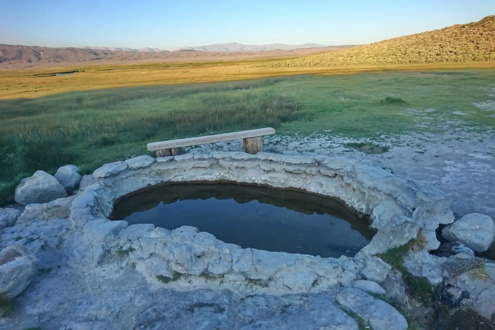
Little Hot Creek, also called the Siphon tub, is a primitive concrete soaking tub in the Long Valley Caldera east of Mammoth Lakes. The tub is fed by a pipe and valve that draws hot water from the geothermal creek, and the temperature is adjustable. It is reached by dirt road, has no facilities, and clothing-optional soaking is common.
01 · Before you go
Plan your visit
What to expect on the ground: rules, facilities and when to go.
- Clothing optionalCommon here, not official policy
- Camping nearbyTrip reports on iOverlander describe free-form camping around the spring, mostly to the west and on the hill above. Some of it is reached by steep dirt roads. The route from the east suits lower-clearance vehicles better. The route from the west needs high clearance.
- 1 pool
- ModerateSpring through fall, according to one guide.
Best time to go. Spring through fall, according to one guide. It can be busy on weekends.
02 · Live
Conditions
Access status, weather and hazards. Closure feeds are checked automatically every morning.
Access
No closures reported
No closure, fire or weather warning found in Forest Service, wildfire (NIFC) or National Weather Service feeds. That isn't confirmation it's open, so check with Inyo National Forest.
Checked 14 Oct · updated daily
Hot Creek (the geologic site, a different place) is closed to entering the water under Inyo NF Order 05-04-52-24-23, valid Dec 31, 2024 to Dec 31, 2026. Sources did not say that Little Hot Creek is covered. The USFS source temperature of 180 F from the NOAA list is the spring source, not the soaking temperature.
Thermal water at the source can reach about 115 F when the valve is fully open, so mix with cooler water. The ground around the source area is fragile and dotted with small hot springs. Roads are dirt and some stretches need high clearance.
03 · Route
Getting there
Nearest town: Mammoth Lakes.
- 1
The spring is about 12 miles east of Mammoth Lakes in the Long Valley Caldera. One trip report starts on the unpaved Whitmore Tubs Road and turns left onto Owens River Road.
- 2
From there, dirt roads lead to the spring. A paved section of Owens River Road leaves Hwy 395 north of Mammoth Lakes, and the Forest Service describes it as turning to dirt.
- 3
The approach from the east is easier than from the west, which needs high clearance. Check a current map or the Forest Service before going, because the exact route was not confirmed from an official source.
37.6920, −118.8390 · nearest town Mammoth Lakes, CA
04 · Where to stay
Stay nearby
Start early and stay close. Places to stay near Mammoth Lakes, from campgrounds to cabins.
If you book through these links we may earn a small commission, at no extra cost to you. It never affects what we list or how.